Milani & Associates provides professional drone surveying and aerial mapping services for projects throughout Concord, Contra Costa County, and surrounding Bay Area communities.
By combining drone technology with professional surveying and mapping expertise, our team can efficiently collect detailed aerial data for land development, construction, engineering, and other project needs. Drone surveying can be especially useful for larger, complex, difficult-to-access, or changing sites where efficient data collection is important.
Our drone capabilities complement Milani & Associates’ broader Surveying & Mapping services and help support accurate planning, design, and project documentation.
Request Drone Surveying Services
Professional Drone Surveying Solutions
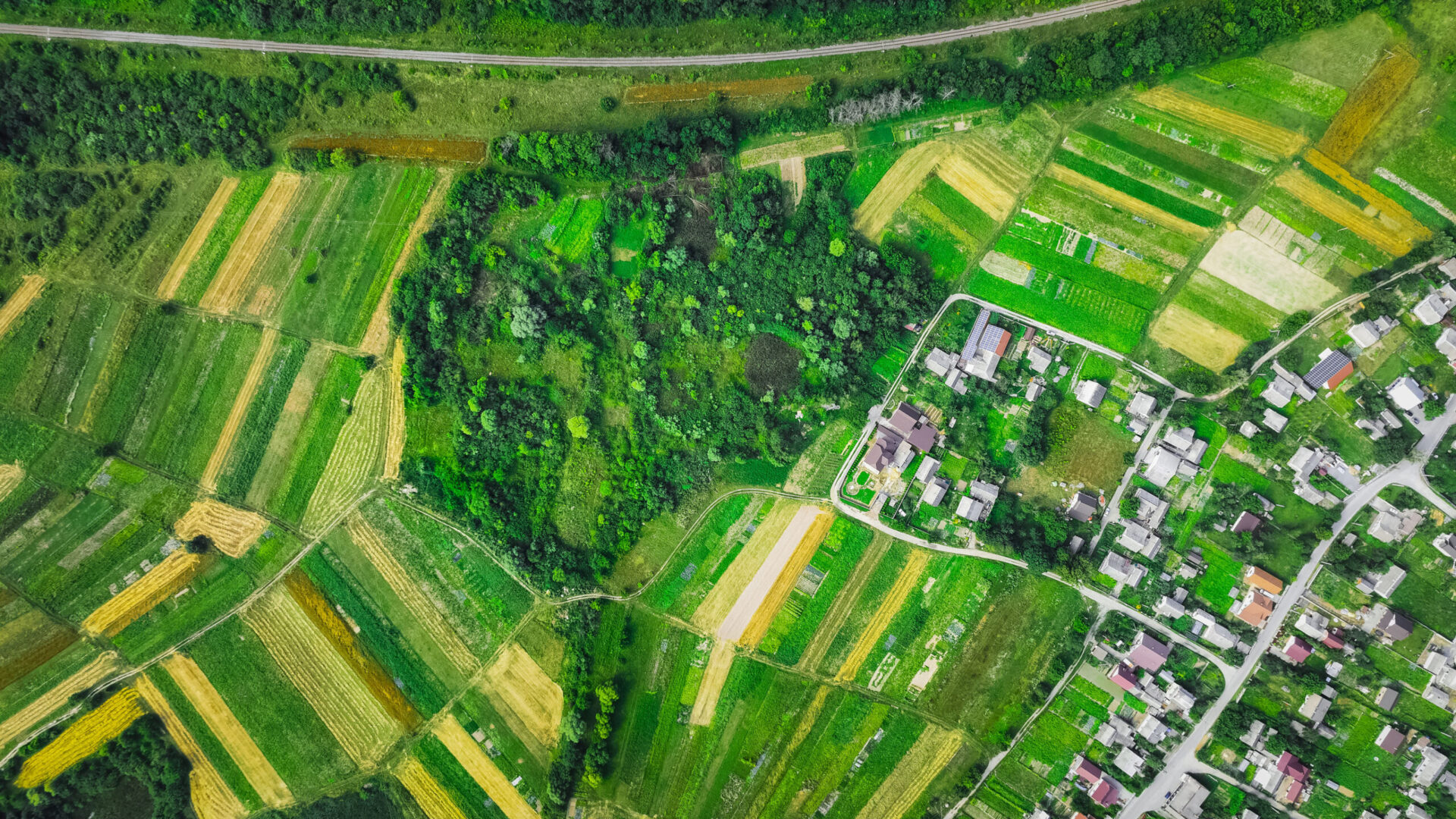
Drone surveying provides an efficient way to collect aerial information about a property or project site. Depending on the requirements of the project, aerial data can support mapping, site documentation, planning, engineering, construction, and land development activities.
Unlike general aerial photography, professional drone surveying is focused on collecting useful site data that can be incorporated into a broader surveying or engineering workflow.
Drone surveying may be useful for:
- Topographic data collection
- Existing-condition documentation
- Aerial mapping
- Site planning
- Land development projects
- Construction documentation
- Site progress monitoring
- Terrain and surface information
- Engineering projects
- Large or difficult-to-access properties
Drone Surveying for Land Development
Accurate information about existing site conditions is an important part of planning a successful development project. Drone surveying can help efficiently capture information across a property and provide project teams with a detailed view of the site.
For development projects, aerial survey data can support planning, design, site evaluation, and coordination throughout different phases of a project.
Because Milani & Associates also provides Land Development Engineering and Civil Engineering services, clients can work with a team that understands how surveying information relates to the larger engineering and development process.
Discuss Your Project With Our Team
Drone Mapping for Construction Projects
Construction sites can change quickly, making current site information valuable for contractors, developers, engineers, and project managers.
Drone surveying can provide an efficient way to document site conditions and capture aerial information throughout a project’s development. Depending on the project, this information can assist with construction planning, progress documentation, site coordination, and verification of changing conditions.
For projects requiring field layout and positioning, clients can also learn more about our Construction Staking services.
By integrating drone surveying with traditional surveying and engineering capabilities, Milani & Associates can provide a more comprehensive approach to project data collection.
Benefits of Professional Drone Surveying
Efficient Site Data Collection
Drones can capture information across substantial areas without requiring every portion of the property to be physically traversed in the same manner as some conventional collection methods.
Detailed Aerial Perspective
Aerial data provides a broader view of a project site, helping teams better understand terrain, improvements, site conditions, and the relationship between different areas of a property.
Useful for Complex Sites
Large, uneven, active, or difficult-to-access properties may particularly benefit from aerial data collection.
Supports Multiple Project Phases
Drone surveying can provide valuable information during planning, design, land development, construction, and project documentation.
Works Alongside Traditional Surveying
Drone technology does not replace professional land surveying. Instead, it can complement conventional survey methods and equipment when appropriate for the project.
Drone Surveying Backed by Engineering & Surveying Experience
Choosing a drone surveying provider involves more than simply finding someone who can fly a drone. The value comes from understanding how aerial information should be collected, processed, interpreted, and incorporated into the requirements of a professional project.
Milani & Associates brings together experience in surveying, civil engineering, land development, construction staking, and environmental engineering. Our multidisciplinary capabilities allow us to consider drone survey data within the larger context of a client’s project.
Explore our complete range of Services or learn more About Milani & Associates.
Drone Surveying Throughout Contra Costa County
Milani & Associates is based in Concord, California, and serves projects throughout Contra Costa County and surrounding Bay Area communities.
Our service area includes:
- Concord
- Walnut Creek
- Pleasant Hill
- Martinez
- Lafayette
- Pittsburg
- Antioch
- Danville
- San Ramon
- Surrounding Contra Costa County communities
Whether you need drone surveying for a development site, construction project, engineering project, or another surveying application, our team can discuss your project requirements and determine the appropriate approach.
Contact Us About Drone Surveying
Drone Surveying FAQs
What is drone surveying?
Drone surveying uses unmanned aerial technology to capture detailed information about a property or project site from above. The collected data can be processed and used for mapping, site documentation, planning, construction, engineering, and other professional applications.
What types of projects can benefit from drone surveying?
Drone surveying can be useful for land development, construction, engineering, topographic data collection, site documentation, existing-condition mapping, and other projects where detailed aerial site information is valuable.
Is drone surveying the same as traditional land surveying?
No. Drone surveying is a technology that can complement traditional surveying methods. The appropriate combination of drone and conventional survey techniques depends on the site’s conditions, required deliverables, accuracy requirements, and purpose of the survey.
Can drones be used for topographic surveying?
Drone technology can be used to collect aerial information that supports topographic mapping and site analysis. The appropriate methodology depends on the project requirements and site conditions.
Do you provide drone surveying outside Concord?
Yes. Milani & Associates serves Concord and surrounding Contra Costa County and Bay Area communities. Contact our team to discuss the location and requirements of your project.
How do I get started with a drone survey?
Contact Milani & Associates with information about your property, project location, and the type of data or surveying services you need. Our team can review the project and help determine the appropriate surveying approach.